- Thank you received: 0
Faces from the Chasmas
- neilderosa
-
- Offline
- Platinum Member
-

Less
More
17 years 6 months ago #18098
by neilderosa
Replied by neilderosa on topic Reply from Neil DeRosa
Proving (or falsifying) the artificiality hypothesis for Mars will be, when the time comes, one of the easier tasks of modern science that lie ahead, much simpler, for example than proving the EPH or the pushing nature or gravity, or even the abiogenic origin of petroleum.
I don’t know what will trigger it when the time comes, but it seems to me to be inevitable. Many branches of science will be involved, but one not often considered will be a variant of the archeologists and paleoanthropologists that unraveled many of the mysteries of earth’s past. And they will employ many of the methods they have used successfully in the past.
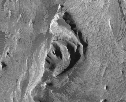
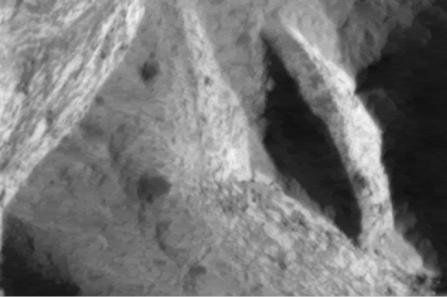
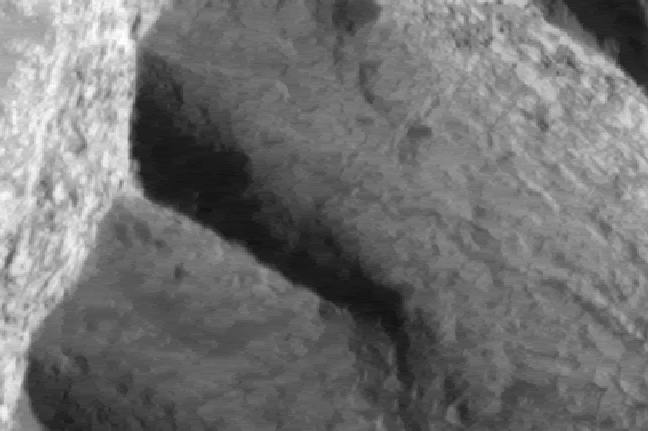
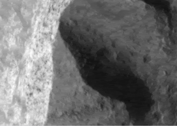
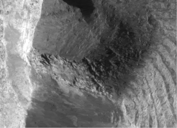
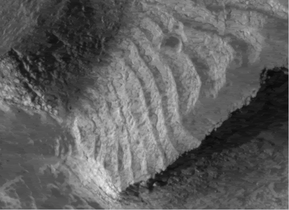
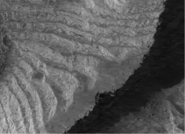
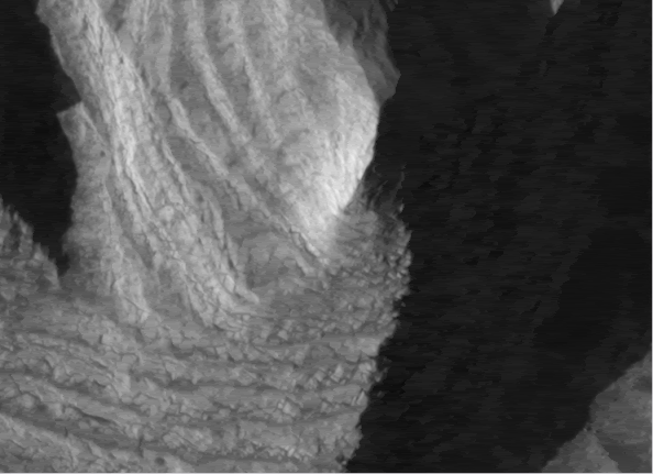
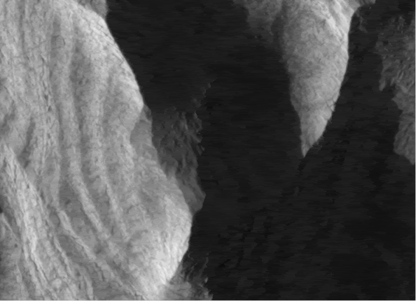
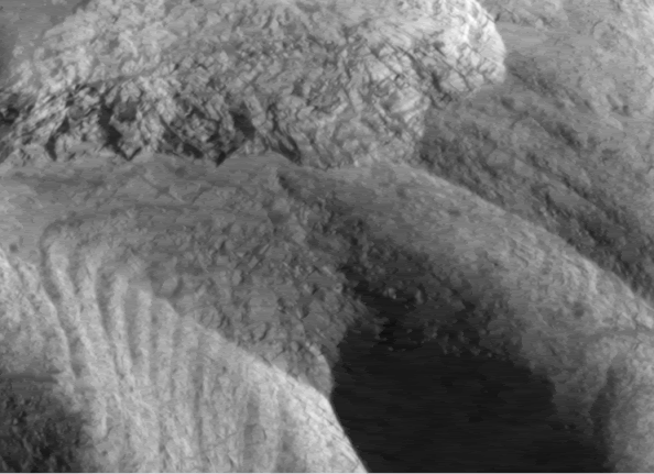
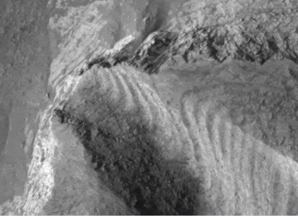
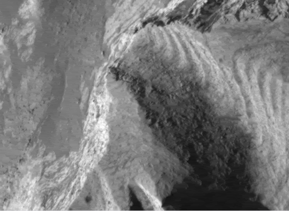
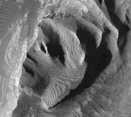
In the meantime, here are some close-ups of the above face. We see similar construction features to the Cydonia face, but this face appears much younger with much less damage. [Neil DeRosa]
Please Log in or Create an account to join the conversation.
- tvanflandern
-
- Offline
- Platinum Member
-

Less
More
- Thank you received: 0
17 years 6 months ago #18100
by tvanflandern
Replied by tvanflandern on topic Reply from Tom Van Flandern
Neil,
This is the most interesting anomaly I've seen in several years. Have you calculated the pre-pole-shift coordinates? -|Tom|-
This is the most interesting anomaly I've seen in several years. Have you calculated the pre-pole-shift coordinates? -|Tom|-
Please Log in or Create an account to join the conversation.
- neilderosa
-
- Offline
- Platinum Member
-

Less
More
- Thank you received: 0
17 years 6 months ago #18206
by neilderosa
Replied by neilderosa on topic Reply from Neil DeRosa
<blockquote id="quote"><font size="2" face="Verdana, Arial, Helvetica" id="quote">quote:<hr height="1" noshade id="quote">Have you calculated the pre-pole-shift coordinates? -|Tom|-
<hr height="1" noshade id="quote"></blockquote id="quote"></font id="quote">
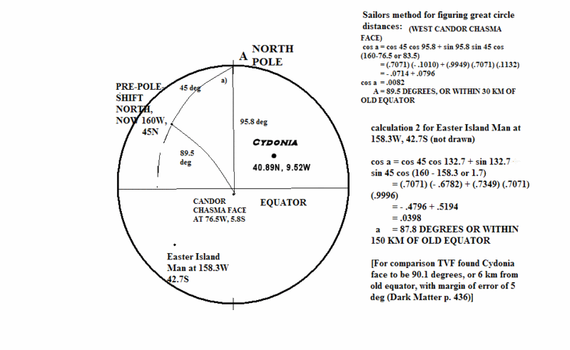
At your suggestion I went through the exercise, using your formula, (from p.436 of <i>Dark Matter</i>, in which you calculated the pre-pole shift position of the Cydonia face), and Schultz’s pre-pole shift north pole coordinates of 45°N, 160°W. Although I should caveat that by saying that some other studies on polar wanderings on Mars offer a slightly different view.
<blockquote id="quote"><font size="2" face="Verdana, Arial, Helvetica" id="quote">quote:<hr height="1" noshade id="quote">In a recent study of polar wandering, (Sprenke and Baker) it is suggested that the rotational pole of Mars may have moved as the result of a change in the inertia tensor due to the rise of Tharsis. These authors state moreover, that observed magnetic anomalies indicate that the paleomagnetic polar positions agree remarkably well with the Schultz model, placing the old south magnetic pole at 45° E 15° S. In another similar study (Arkani-Hamed and Boutin 2003) researchers concluded that polar positions determined by modeling isolated magnetic anomalies must be regarded as preliminary. [from a work in progress:]<hr height="1" noshade id="quote"></blockquote id="quote"></font id="quote">
According to the formula: [Edited 10/3/07: I'm a bit rusty at this so the calculation is deleted and next post will be a second try]
This face (Wil) in the West Candor Chasma is at 76.5°W, 5.8°S.
Bear in mind that this is not a unique stand-alone large face like Cydonia (Cydonia is ~2 km wide to ~415 meters for Wil). And there do seem to be many other plausible faces and artifacts “in the chasmas.” As was said in an above post, Wil Faust’s Mound is ~4 km north of the Wil profile and “Curiosity” is only a few km (5-10) north of the Mound.
I’m trying out other forms of cultural significance for these faces and artifacts. Some speculations: water (and/or minerals) in the low altitude regions, almost all faces are found on low altitude terrain, the large majority of faces are found on the dichotomy border, and so on.
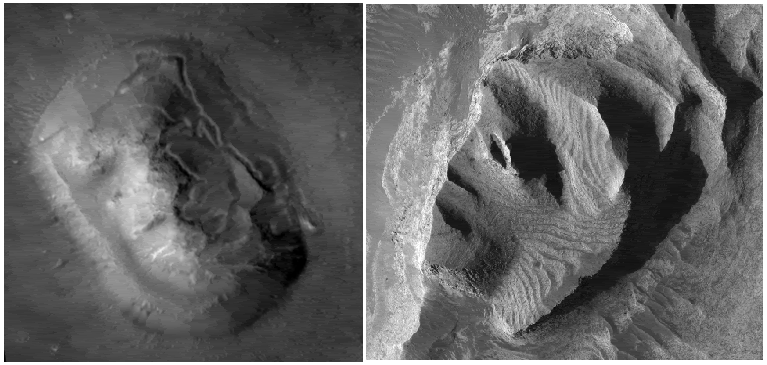
Here’s a comparison of the orientation of the two faces; both are map projected. This means that they are oriented at ~90° to each other. Meaning in Shultz’s pre-pole shift position Cydonia would be oriented almost due north, and Wil oriented east (but “looking” north toward the Mound perhaps).
Please Log in or Create an account to join the conversation.
- neilderosa
-
- Offline
- Platinum Member
-

Less
More
- Thank you received: 0
17 years 5 months ago #18113
by neilderosa
Replied by neilderosa on topic Reply from Neil DeRosa
Please Log in or Create an account to join the conversation.
- neilderosa
-
- Offline
- Platinum Member
-

Less
More
- Thank you received: 0
17 years 5 months ago #18154
by neilderosa
Replied by neilderosa on topic Reply from Neil DeRosa
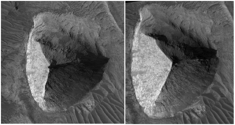
Wil Faust’s mound was imaged a third time that we know of. Sorry ZM, I’ll leave it in this thread for now because it’s part of the story I have to tell. I cropped and copied a few pictures from PSP 003896 1740 West Candor Chasma.
Here are comparisons of the two MRO images with the original MGS MOC image. As you can see, the new MRO image is closer to straight overhead, as was the MOC image. The sun is in a slightly different position in all three images. What interests me here is two things:
First, the MOC image is the most artificial looking of the three, the base has the same curved symmetry on all three sides and the pyramid sides and edges look very straight. In the MRO re-imagings, some of this is lost, but now in the second MRO image we get some of the symmetry back because the straight overhead camera incidence angle is very close to the original MOC image.
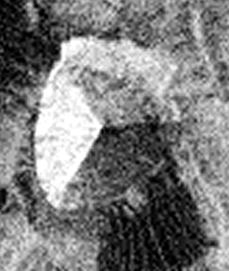
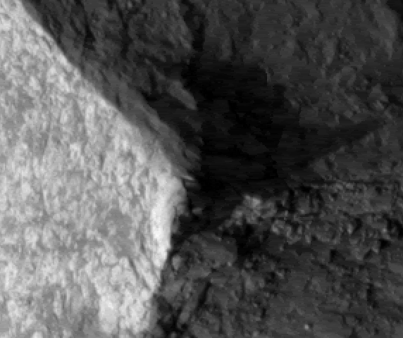
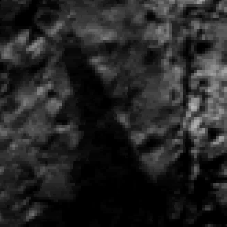
More important, we now see different shadows. In 3896 1740, the “chevron” I mentioned in an earlier post (but we could not see clearly even under high resolution) is back, but it now looks like a SPIRE. How do I know that? Look at the shadows in the images below; (the sun is coming from the lower left in the map-projected image.)
I doubt if geologists can cite any natural instances of a spire on top of a mountain, hill or butte that has a natural explanation. There are lots of man-made ones. But there it is. Shadows don’t lie.
If anyone wants to calculate the height of the spire from the image data at HiRISE, be my guest; I'm going to estimate it at about 10-15 meters high. [Neil DeRosa]
MOC number E0600269
Comparison of two MRO images PSP 002841-1740 & 3896 1740
Close-up of peak with shadow of spire
Spire shadow rotated upright
Please Log in or Create an account to join the conversation.
- neilderosa
-
- Offline
- Platinum Member
-

Less
More
- Thank you received: 0
17 years 5 months ago #19928
by neilderosa
Replied by neilderosa on topic Reply from Neil DeRosa
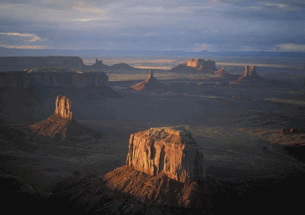
<blockquote id="quote"><font size="2" face="Verdana, Arial, Helvetica" id="quote">quote:<hr height="1" noshade id="quote">I doubt if geologists can cite any natural instances of a spire on top of a mountain, hill or butte that has a natural explanation.<hr height="1" noshade id="quote"></blockquote id="quote"></font id="quote">
I stand corrected. Still, there are many differences.
I stand corrected. Still, there are many differences.
Please Log in or Create an account to join the conversation.
Time to create page: 0.445 seconds

